It happens more often than you might think. A new client arrives with drawings already prepared – neat, professional, and apparently ready to go. But as soon as we review them, it becomes clear that something is wrong. The building doesn’t fit.
Not just by a small margin. Sometimes by several metres. Boundaries are crossed, parking areas spill into neighbouring land, and set-backs are ignored entirely. All because the original drawings were based on inaccurate site data.
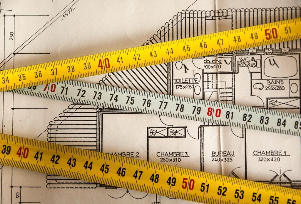
At Blackrock Architecture Ltd, we see this mistake time and time again. Too many professionals rely purely on Ordnance Survey information, assuming it’s precise enough for detailed design. Unfortunately, it isn’t. OS data is suitable for general location work, but not for accurate plotting. Even a small discrepancy on paper can translate into a major problem once the project reaches site.
We’ve seen the consequences first-hand – delays, redesigns, planning issues, and unnecessary cost. All of which could have been avoided with a proper site survey at the start.
That’s why we take a different approach. When a site is large, complex, or sensitive, we bring in a dedicated surveyor who uses GPS and digital mapping technology to capture the site exactly as it is. Every boundary, wall, and level recorded accurately from the outset.
Getting this simple step right prevents countless problems later on. It ensures your design fits your land perfectly and that every decision made afterwards is based on solid, reliable data.
At Blackrock Architecture Ltd, we believe accuracy is the foundation of every successful project. It’s a small detail – but one that makes all the difference.